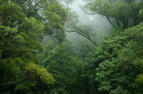
TerrAdapt is partnering with RESOLVE and regional partners to co-develop powerful new capabilities to monitor environmental change, project future risks from climate change and our expanding human footprint, and prioritize where to act strategically to increase resilience to emerging threats. These capabilities will help support strategies like the Critical Ecosystems Partnership Fund's strategic directions, including providing civil society organizations, local communities, and regional networks with the precise monitoring tools needed to safeguard critical habitats. By modernizing data access across the region's designated Key Biodiversity Areas, from the coastal mangroves to the highland forests, the TerrAdapt platform will transform static biodiversity profiles into dynamic, adaptive management strategies.
Empowering Cross-Boundary Collaboration
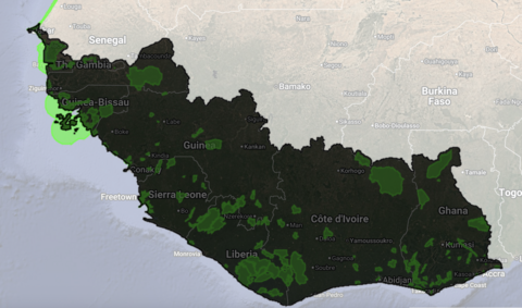
By leveraging TerrAdapt's seamless transboundary data, this initiative empowers local communities to track emerging threats, monitor the effectiveness of their land management policies, and lead climate-smart conservation, while equipping government agencies and conservation NGOs with the capacity and open-source spatial tools needed for sustainable forest management. These science-based insights optimize regional biodiversity efforts, offering corporations a means to measure nature-positive commitments and providing international donors with the targeted, high-impact data necessary to guide strategic funding decisions.
Equitable access to open source data and tools to track environmental change and respond effectively to meet stewardship commitments.
High Resolution Environmental Monitoring
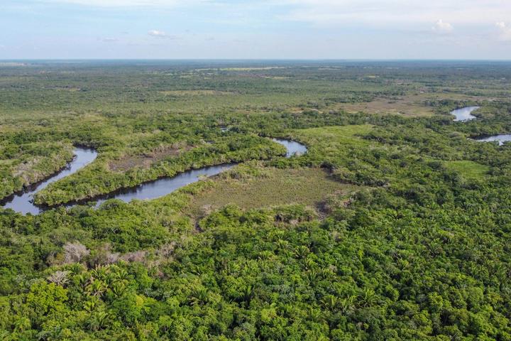
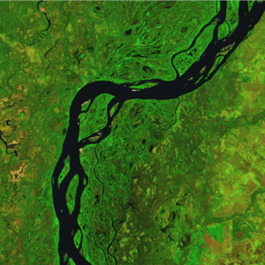
TerrAdapt uses multi-spectral satellite imagery and cutting edge remote sensing technologies to track landcover, forest structure, forest disturbance, transportation and energy infrastructure, and our human footprint on the landscape in near-real time.
Landcover
Forest Structure
Forest Disturbance
Transportation and Energy Infrastructure
Human Footprint

Enabling Adaptive Management
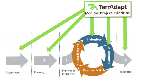
TerrAdapt's dynamic data products have applications throughout the adaptive management cycle, enabling a more modern and nimble form of conservation that can keep up with the pace and scale of change.
Fostering Partnerships
If your community or organization is interested in collaborating with us to help co-develop these capabilities and make them more relevant and useful to your work, please contact us. We are seeking partners in the region to:
-
Co-develop and shape the platform based on local priorities and decision contexts
-
Apply TerrAdapt tools and data to support planning, monitoring, and management
-
Collaborate on regional learning and coordination across the region